
Abilene ZIP Code Directory Coverage
USPS material assigns delivery labels and post-office relationships, but it does not provide an official neighborhood polygon for every Abilene code. The coverage below separates standard-delivery labels from PO Box, special-use, and unique institutional codes. A particular address still needs a current USPS lookup. Tye's code is included because it is an Abilene-area lead in Taylor County, not because it is an Abilene city code.
| ZIP | Areas Covered | Post Office | Notes |
|---|---|---|---|
| 79563 | Tye and nearby Taylor County postal-service area | Tye label | Near Abilene, not an Abilene city ZIP; verify each address |
| 79601 | Abilene delivery label | Abilene Main Post Office, 341 Pine Street | Standard delivery; grouped with 79604, 79698, and 79699 in the reviewed USPS scheme |
| 79602 | Abilene delivery label | Abilene 79602 label | Standard delivery; grouped with 79603 in the reviewed scheme |
| 79603 | Abilene delivery label | Abilene 79602 label in the USPS scheme | Postal assignment can differ from city-limit geography |
| 79604 | Abilene PO Box or service label | Abilene 79601 label | Confirm whether a street delivery result exists before using it as an address code |
| 79605 | Abilene delivery label | Abilene Southern Hills Station, 2501 Buffalo Gap Road | Standard delivery; grouped with 79606, 79608, and 79697 |
| 79606 | Abilene delivery label | Abilene 79605 label | Standard delivery in the reviewed USPS scheme |
| 79607 | Abilene special-use grouping | Abilene label | Exact service context was not located; verify through USPS |
| 79608 | Abilene PO Box or service label | Abilene 79605 label | Likely specialized service; exact delivery class was not located |
| 79697 | McMurry University unique-use code | Abilene 79605 label | Institutional code, not a residential-neighborhood boundary |
| 79698 | Hardin-Simmons University unique-use code | Abilene 79601 label | Institutional code, not a residential-neighborhood boundary |
| 79699 | Abilene Christian University unique-use code | Abilene 79601 label | Institutional code, not a residential-neighborhood boundary |
The USPS post-office notice names the Main Post Office and Southern Hills Station. Its postal-bulletin scheme groups related labels, while an older bulletin groups them somewhat differently. That change is a practical reason to validate a street address instead of relying on a static list.
Abilene ZIP Code Postal Labels
A postal city label and a city jurisdiction are separate things. A code can serve a university, a PO Box, a military or special-use location, or an address outside the incorporated line. It can also use the same Abilene label as a nearby service area. The reviewed USPS material groups codes by postal-label relationships, not by a civic boundary or a map of neighborhoods.
This is the key comparison for local research: USPS answers which code is assigned to a deliverable address, while City Planning and GIS material address city limits, ETJ, county boundaries, land use, and super-neighborhoods. Taylor County records use their own jurisdictional and parcel context. Do not use a postal label as proof of incorporation, precinct, property ownership, or who lives at an address.
Note: A USPS assignment is current-address evidence, while city and county maps answer different geographic questions under different custodians.
Verify an Abilene ZIP Code
The official check begins with a full street address in USPS ZIP Code Lookup. It is more reliable than assigning a code from a neighborhood name, a university label, or an old mailing list. The research did not capture a live Abilene address result, so neither the table nor a screenshot should be treated as a substitute for entering the address at the time of the search.
The USPS address-to-ZIP tool is shown below. It is the authoritative route for postal validation, while City Planning is the route for city-limit and ETJ context.
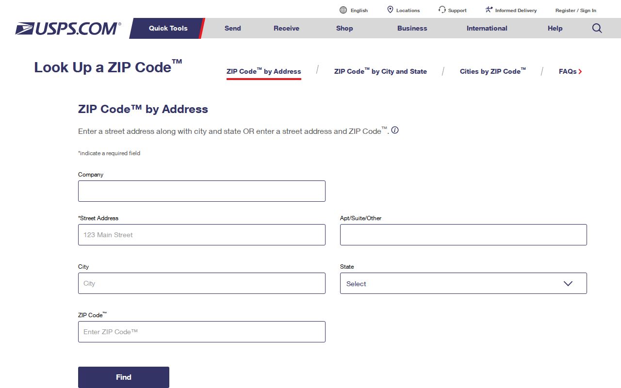
A verified result gives a delivery assignment for that address. It does not establish a neighborhood boundary, a parcel boundary, a current household, or legal jurisdiction.
Note: USPS assigns delivery codes to addresses, so a neighborhood name should not replace the full-address validation step.
Find Residents Within an Abilene ZIP
Start by deciding whether the real need is a postal assignment, a property record, a voter-data request, or a historical address. The available official routes do not create a simple ZIP-wide list of every person. Taylor CAD's inspected search did not expose a ZIP field, and the Texas voter request supports county and precinct geography rather than a confirmed ZIP-only local search. Use a ZIP to narrow an address question, then choose the record that actually supports the next step.
- Enter the complete address in USPS ZIP Code Lookup and preserve the returned assignment.
- For a property question, search Taylor CAD by street number and street name, owner, property ID, subdivision, neighborhood, or geographic ID.
- For voter data, review the SOS request form, which can select counties and precincts and includes ZIP fields in the delivered record layout.
- For a street-specific record trail, move from the confirmed address to the Abilene street directory workflow.
ClaimItTexas accepts current ZIP as an optional refinement for an unclaimed-property lead. It is not a resident or postal directory. Likewise, a CAD owner or mailing field must not be read as a list of every person at a situs address.
Abilene ZIP Code Search Limits
Taylor Central Appraisal District offers an address and property search, but the inspected Advanced screen did not show a ZIP filter. Use the fields the portal actually exposes. A full address search should omit directional prefixes, suffixes, and unit numbers, while an owner search uses last name first. The CAD page says the first few letters of a street may work. Its appraisal entries and GIS files are useful research tools, not legal surveys or recorded instruments.
| CAD field or mode | How it helps after ZIP validation | Verified limit |
|---|---|---|
| Address and Street Number | Find a known street address | No inspected ZIP field; omit prefixes, suffixes, and unit numbers |
| By Owner and Owner Name | Test a known owner spelling | Last name first; partial names may be tried |
| ID and Property ID | Return to a known account or property identifier | Exact format was not shown |
| Advanced | Narrow by additional exposed fields | ZIP capability was not verified |
| Neighborhood, Subdivision, Geographic ID | Refine parcel context | Each is distinct from a postal code |
For a city-limit question, use the City GIS and Planning materials. For an existing map or administrative record not visible online, make a request to the governmental custodian rather than asking CAD to create a legal survey.
Note: A Taylor CAD parcel search can refine a property question, but the inspected screen did not verify a ZIP filter.
Abilene ZIP Code City Lines
City Planning lists city limits, ETJ and county boundaries, existing and future land use, super-neighborhood boundaries, corridor overlays, and the Carver neighborhood plan. Those civic layers are more appropriate than a postal label when a question is about whether an address lies inside Abilene, in the ETJ, or elsewhere in Taylor County. Census ZCTAs are statistical approximations and are not USPS ZIP boundaries.
The Abilene Planning Services map page is the official context shown below. Its super-neighborhood material can help place an address in a civic area, but it does not provide a roster of residents or an official ZIP polygon.
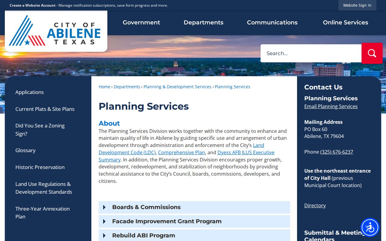
A nearby Tye address illustrates the distinction: it may be useful as an Abilene-area postal lead, yet the code does not make it an Abilene city ZIP. Confirm the address, then consult the relevant city or county map.
Abilene's Unique ZIP Code Labels
The university codes in the coverage table are a useful local reminder that a ZIP can be a service or institutional label rather than a place where a boundary should be drawn. McMurry University, Hardin-Simmons University, and Abilene Christian University have unique-use codes in the reviewed USPS tables. They should not be treated as normal residential zones.
- ZIP and ZIP+4
- A ZIP identifies a postal delivery area. ZIP+4 is an added delivery code used by USPS systems; local ranges were not researched here.
- PO Box ZIP
- A code or service assignment used for post-office boxes or specialized delivery. It does not automatically establish street delivery.
- Unique ZIP
- An institutional code, such as the reviewed university codes, that is not a neighborhood boundary.
- Carrier route
- A USPS delivery-route concept. Local route details were not located in the official sources reviewed.
These differences make the postal table informative but deliberately cautious. A named place, a ZIP label, and a municipal boundary can overlap without being the same geographic fact.
Note: Unique-use codes identify postal-service arrangements and should not be converted into ordinary residential ZIP boundary lines.
Abilene ZIP Code Research Routes
For online work, use USPS for the address assignment, City Planning or the City GIS viewer for civic geography, Taylor CAD for parcel research, and the SOS voter-data form for its paid statewide data procedure. Census TIGERweb ZCTA layers can provide a statistical comparison, but not the official address answer. Each source gives a different kind of result.
For help beyond the browser, the named USPS stations, City Planning at 325-676-6237, and Taylor CAD at 325-676-9381 are the documented local contacts. A city or county map-data request should go to the custodian that holds the existing material. Historic directories and Sanborn maps can help interpret an old address, yet they cannot certify a current postal assignment.
The fallback chain matters when an address is old or incomplete. First, compare the historic street reference with a directory or Sanborn map. Next, use CAD's parcel and legal-description clues if the location has changed form. Then ask the appropriate city or county custodian for an existing map or addressing record. The research found no complete official neighborhood-by-ZIP table, no local ZIP split history, and no verified local carrier-route details. Treat those missing details as gaps rather than drawing a boundary from a mailing label.
Postal caution. Confirm a complete address with USPS before using an Abilene ZIP code as part of a property, records, or family-history search.